New England Weather This Week: Frontal Boundary
- Tim Dennis
- Jul 7
- 4 min read

A slow-moving frontal boundary will dominate New England's weather this week. This will bring multiple periods of unsettled weather (1-2" of rain through the entire week) and cooler weather, eventually.
MONDAY
A frontal boundary will stall across northernmost New England today. This is mainly due to what will be the remnants of Tropical Storm Chantal around the southeast coastline. Since the front is basically in the same position as it was yesterday, Monday will play out very similar to Sunday. A strong, moist southerly flow will continue to create hot and humid conditions across most of the region. A heat advisory is in effect for feels-like temperatures well into the 90s once again.

The other story for New England will be the potential for some thunderstorms in the afternoon and evening. The best chance for scattered storm development will be across the northern third of New England, closest to the frontal boundary. The farther south you go in New England, the less likely you are of seeing a storm as forcing weakens moving away from the front.
Given the atmospheric conditions,however, a stray storm could pop up anywhere. Storms in southern New England will be more likely across western Massachusetts and Connecticut. Any storm that forms across northern New England, near the front, will have the chance to strengthen into producing strong wind gusts. The biggest question will be just how numerous storms will actually end up being.

TUESDAY
On Tuesday, the frontal boundary will likely begin to push through New England in earnest. This will move the chance for more widespread unsettled weather farther south in New England compared to Sunday and Monday. A period of scattered showers and storms will be likely across most of the region as the front passes. The exact timing of when showers and storms become most numerous across central and southern New England will depend on the exact timing of the sluggish cold front, but the afternoon and evening will be the likely timing.

Northernmost New England will likely be the driest as the atmosphere will need some recovery time after the more active Monday. This front will be slow-moving, and the air mass won't be entirely replaced, so it will be warm and remain humid, but not to the levels of Sunday and Monday.
The remnants of Chantal will likely help pump additional moisture into New England, allowing for the potential of heavy rainfall within storms and showers. There's a marginal risk of strong to severe storms with strong winds as instability and moisture will be high, however, there are significant limiting factors as well (mainly weak shear and meager lapse rates).
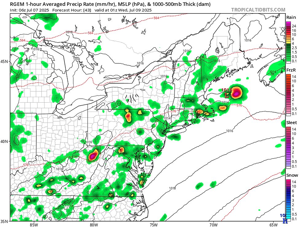
Below: RGEM showing potential weather late Tuesday afternoon:
WEDNESDAY-FRIDAY
This front will likely remain to the south of New England through the rest of next week, dominating the weather for the region. Broad troughing is also likely to remain in place, with multiple waves of energy moving through New England. This will likely bring about plenty of clouds and cooler temperatures along with periods of unsettled weather.

After Tuesday, it looks Wednesday may be the driest day for New England with a more organized low pressure system moving through in the Wednesday night to Thursday time frame, bringing a period of more widespread precipitation. With that said, no day is looking washed out and there will likely end up being many more dry hours than wet hours each day. Showers and storms look mainly driven by daytime heating rather than strong forcing from low pressure, which would bring the highest shower chances in the afternoons.
There will be a steady stream of moisture into New England during this period. This could promote the potential for heavy downpours within the scattered showers and storms. With the scattered nature of the precipitation, rainfall totals will likely be highly variable from community to community this week. Areas that end up seeing repeated rounds of downpours could have localized flash flooding issues by the end of the week, but that will be dependent on if multiple downpours set up over the same areas.
Below: Euro showing potential weather from Wednesday morning through Friday night:

It will be a period of relatively cooler temperatures (by July standards) as a persistent onshore flow develops from this pattern. This means the coastal plain will be the coolest while areas well inland will be closer to seasonal averages. Overall, the 70s will likely dominate this stretch for high temperatures. The Champlain Valley will likely be the warmest during this stretch, with the best chance for consistent 80s for highs.
WEEKEND
With a stalled frontal boundary to the south of New England this week, there's inherent uncertainty about the weekend weather at this time. As of now, odds favor the boundary sinking farther south and beginning to loosen its grip on the region. This would bring drier weather and more seasonable temperatures to the region as high pressure builds back in. This will be contingent on the boundary dropping south. Should the boundary take longer to move south, the weekend will trend cooler, cloudier and possibly wetter.
Below: Current weather map for Saturday (July 12):


Comments